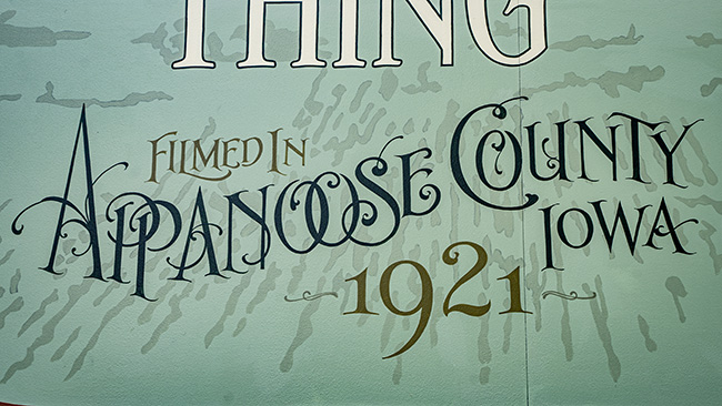
A few weeks back after I went down to Pella to photograph some tulips, I went down to Appanoose County to harvest their town signs. It was a good day.
Here are some facts about Appanoose County:
+ Population is 12,462, making it the 60th most populous county in Iowa. Below Wright County and above Union County.
+ Largest town and county seat is Centerville.
+ Formed on February 17, 1843.
+ Named for the Meskwaki Chief.
+ Home of Lake Rathbun.
+ Major highways are: IA-2, IA-5, and IA-202.
+ Adjacent counties are: Monroe, Wapello, Lucas, Davis, and Wayne.
+ Population peaked in 1920 at 30,535.
The Appanoose County courthouse is beautiful:

The Appanoose County Courthouse in Centerville, Iowa.
The Appanoose County Freedom Rock is located in Centerville:

With Appanoose County conquered, here is the updated Photography 139 Conquest Map:

PURPLE=COMPLETED
77 counties conquered. 77.8% of the Cyclone State conquered.
Here are the town signs of Appanoose County:

Centerville, Iowa
CENTERVILLE
Population: 5,412 (-116)

Moravia, Iowa
MORAVIA
SINCE 1851
Population: 636 (-29)

Moulton, Iowa
MOULTON
SINCE 1869
Population: 607 (+2)

Mystic, Iowa
MYSTIC
Population: 322 (-103)

Cincinnati, Iowa
Cincinnati
Iowa
Population: 290 (-67)

Exline, Iowa
EXLINE
THE LITTLE TOWN WITH A BIG HEART
Population: 160 (No Change)

Unionville, Iowa
UNIONVILLE
IOWA
EST. 1843
Population: 75 (-27)

Numa, Iowa
NUMA COMMUNITY CENTER
Population: 68 (-24)

Plano, Iowa
PLANO
SINCE 1879
Population: 59 (-11)

Rathbun, Iowa
WELCOME TO THE CITY OF RATHBUN
ESTABLISHED 1892
GATEWAY TO RATHBUN LAKE
Population: 43 (-46)
First, I’m pretty startled by the population drops over just 10 years in Appanoose County. I get it, nobody wants to live close to Missouri. It is an absolutely horrible place. But I thought Lake Rathbun would be enough of an economic generator to help the towns in the area and Centerville is a pretty nice town, from what I’ve seen. I guess last person left in Appanoose County, turn off the lights.
However, I have a theory why Appanoose County has lost over half its population in the last 100 years. It is the fact that so many of the towns have the terrible (what I call, because that is where I first saw their infestation) Highway 34 signs. They are a scourge of southern Iowa. Three towns have them and spoiler, Centerville also had one. All three of those towns tie for the worst town sign in Appanoose County.
Who gets the purple ribbon though? I like Cincinnati’s sign. I like Exline’s sign. I also like Unionville’s (suck it confederacy and confederacy fanboys*), but it really is a two horse race between Centerville and Rathbun. I’m giving the nod to Centerville.

Centerville – Best in Show – Appanoose County
Centerville had a few alternate signs:

Puke
Here is the current list of Best in Shows:

Best in Show – Adair County

Best in Show – Appanoose County

Best in Show – Black Hawk County

Best in Show – Buena Vista County

Best in Show – Cerro Gordo County

Best in Show – Cherokee County

Best in Show – Crawford County

Terril – Best in Show – Dickinson County
Best in Show – Dickinson County

Best in Show – Franklin County

Best in Show – Hamilton County

Best in Show – Humboldt County

Best in Show – Marshall County

Best in Show – Mitchell County

Best in Show – Montgomery County

Best in Show – Palo Alto County

Best in Show – Plymouth County

Best in Show – Pocahontas County

Best in Show – Pottawattamie County

Best in Show – Poweshiek County

Best in Show – Ringgold County

Best in Show – Winnebago County
The next time we hit the open road for THE TOWN SIGN PROJECT, we will visit Keokuk County.
* Also known as racists.


Those generic signs are just so terrible. They are tied with gravestone signs for worst.
If there were only a couple, that would be one thing, but they are all over the place!